

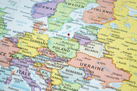
Armed conflict between Russia and Baltics on the map of Europe.
Коллекция по умолчанию
Коллекция по умолчанию
Создать новую
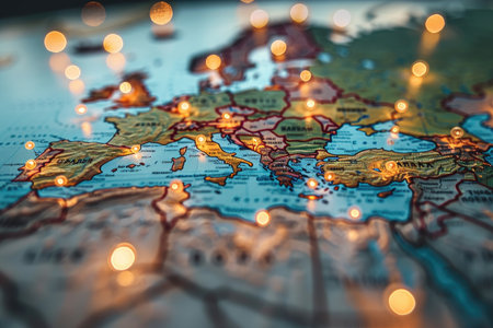
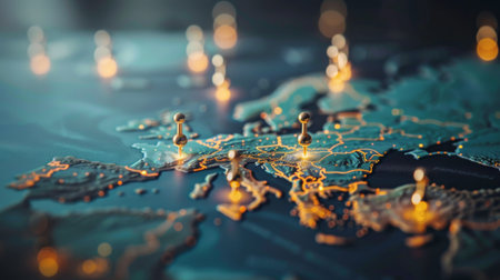
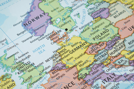
Close-Up of a Map of Europe with Warm Lights
Коллекция по умолчанию
Коллекция по умолчанию
Создать новую
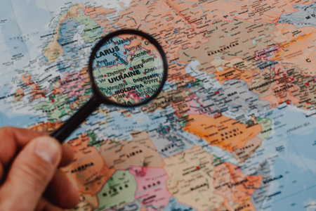
A hand holds a magnifying glass over a detailed map highlighting various countries, focusing on Ukraine, Moldova, and surrounding regions.
Коллекция по умолчанию
Коллекция по умолчанию
Создать новую
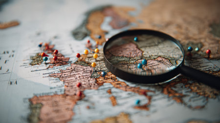
Magnifying glass on a map of the world. Selective focus.
Коллекция по умолчанию
Коллекция по умолчанию
Создать новую
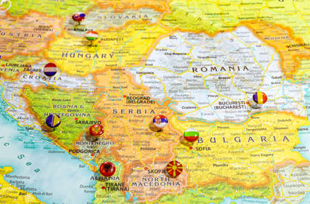
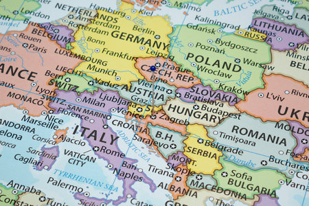
Close up view of Balkan peninsula on geographical globe, Map shows capitals countries Serbia - Belgrade, Bulgaria - Sofia, Romania - Bucharest, Montenegro - Podgorica. Albania - Tirana and their flags
Коллекция по умолчанию
Коллекция по умолчанию
Создать новую
Close up to a Warsaw city with a red pin needle into Poland country political map
Коллекция по умолчанию
Коллекция по умолчанию
Создать новую
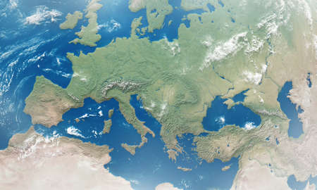
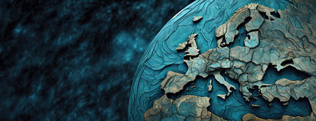
Extended area of outlined Europe. 3D rendering with detailed planet surface
Коллекция по умолчанию
Коллекция по умолчанию
Создать новую
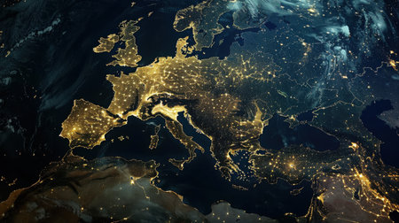
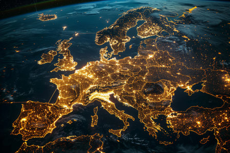
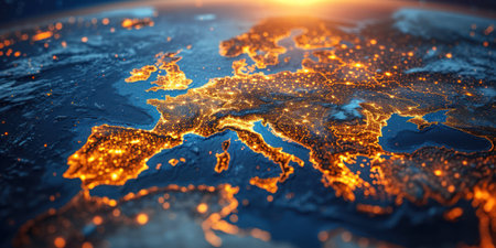
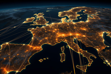
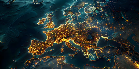
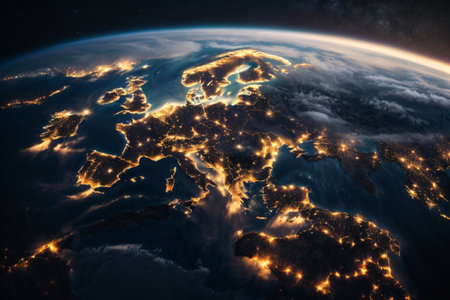
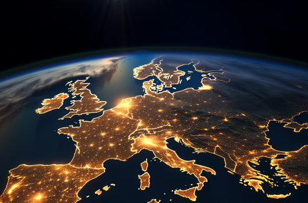
This image shows a nighttime view of Europe from space, with the lights of major cities illuminating the continent. The image captures the dense population centers and urban development throughout the region, highlighting the human footprint on the planet.
Коллекция по умолчанию
Коллекция по умолчанию
Создать новую
Armed conflict between Russia and Baltics on the map of Europe.
Коллекция по умолчанию
Коллекция по умолчанию
Создать новую

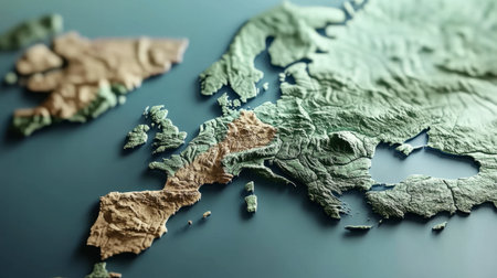
Explore a detailed 3D representation of Europe, highlighting its diverse landscapes and geographic features, perfect for educational materials or creative projects.
Коллекция по умолчанию
Коллекция по умолчанию
Создать новую
Ethereal Blue Cracked Texture on Planet Surface. A celestial body's surface is covered in intricate blue cracks, giving an otherworldly appearance to the cosmic landscape.
Коллекция по умолчанию
Коллекция по умолчанию
Создать новую
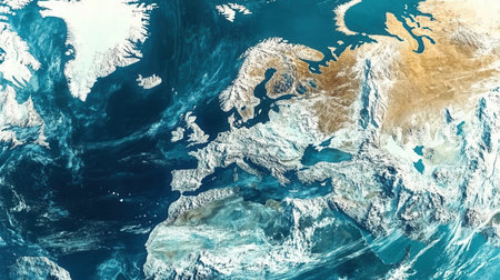
The snowy northern regions of the American continent display breathtaking frozen landscapes with shimmering ice and clear waters capturing the beauty of winter.
Коллекция по умолчанию
Коллекция по умолчанию
Создать новую
LONDON, UK - June 2021: Logo for the 2020 UEFA european championship
Коллекция по умолчанию
Коллекция по умолчанию
Создать новую
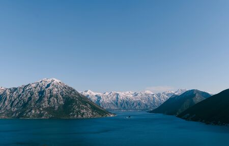
Panoramic views from the mountain at Koto Bay in Montenegro, in the area of Perast and Risan. Snow-capped mountain peaks in winter and blue sea water of the bay.
Коллекция по умолчанию
Коллекция по умолчанию
Создать новую
A close-up of Europe at night, with cities glowing and borders outlined.
Коллекция по умолчанию
Коллекция по умолчанию
Создать новую
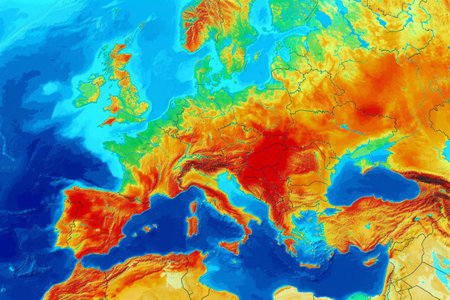
Satellite map illustrates the summer heat on the European continent World map with weather forecast illustration showing different climatic conditions
Коллекция по умолчанию
Коллекция по умолчанию
Создать новую
A luminous digital map of Europe highlights interconnected nodes and vibrant data pathways, symbolizing advanced international communication and technological integr
Коллекция по умолчанию
Коллекция по умолчанию
Создать новую
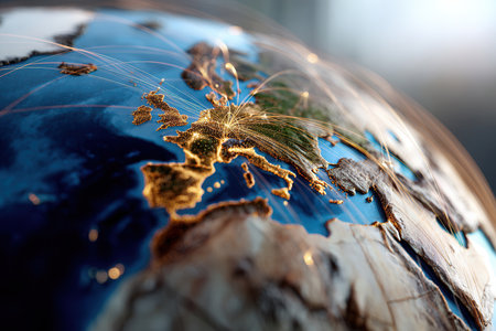
A detailed globe features illuminated lines representing connectivity and communication across Europe highlighting major cities and regions against a dark background.
Коллекция по умолчанию
Коллекция по умолчанию
Создать новую
Planet Earth. View from Space extreme closeup. Generative AI
Коллекция по умолчанию
Коллекция по умолчанию
Создать новую
Magnificent aerial view of illuminated europe at night captured from space by nasa
Коллекция по умолчанию
Коллекция по умолчанию
Создать новую
Close up to a Zagreb city with a blue pin needle into Croatia political country map
Коллекция по умолчанию
Коллекция по умолчанию
Создать новую
Close up to a Malmo city with a yellow pin needle into a political map
Коллекция по умолчанию
Коллекция по умолчанию
Создать новую
A detailed close-up view of a map featuring numerous illuminated lights, possibly indicating cities or points of interest. The lights create a vibrant and dynamic display on the map.
Коллекция по умолчанию
Коллекция по умолчанию
Создать новую
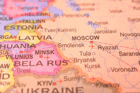
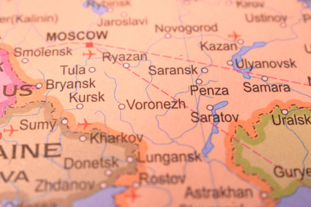
Smolensk Political Map Of Russia Country And City Close Up With Background Defocused Image
Коллекция по умолчанию
Коллекция по умолчанию
Создать новую
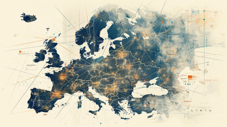
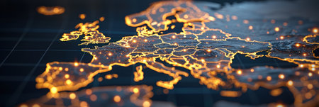
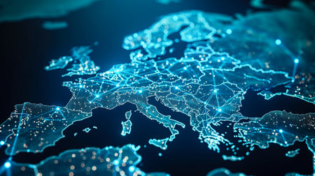
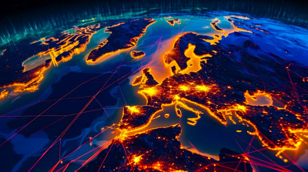
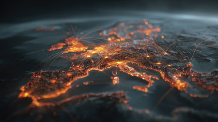
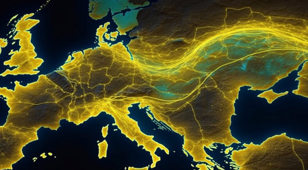
The map of Europe displayed here is intricately detailed, featuring a multitude of intersecting lines that likely represent various transportation routes, borders, or geographical features across the continent.
Коллекция по умолчанию
Коллекция по умолчанию
Создать новую
Armed conflict between Russia and Ukraine on the map of Europe.
Коллекция по умолчанию
Коллекция по умолчанию
Создать новую
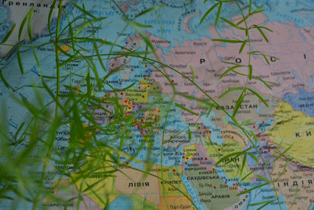
Map of Australia with vegetation in the foreground, focus on the map. World map in Russian with countries, continents and flippers of a home flower.
Коллекция по умолчанию
Коллекция по умолчанию
Создать новую
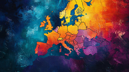
A vibrant, abstract painting of Europe with bold brushstrokes and a color palette of blue, yellow, orange, and purple.
Коллекция по умолчанию
Коллекция по умолчанию
Создать новую
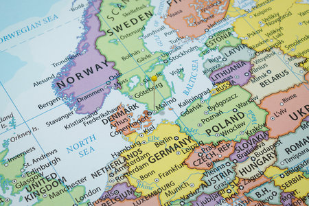
This detailed topographic map showcases the stunning relief of the Scandinavia region, highlighting islands and landscapes in an artistic manner.
Коллекция по умолчанию
Коллекция по умолчанию
Создать новую

Small toy retro car on Europe map in Baltic states. Travel by car concept.
Коллекция по умолчанию
Коллекция по умолчанию
Создать новую
Illustrating the Global Logistics Network: Trade Routes and Transportation Methods. Concept Trade Routes, Transportation Methods, Global Logistics Network, Illustration, Shipping Routes
Коллекция по умолчанию
Коллекция по умолчанию
Создать новую
A blue and red map of Europe with many dots. The map is a representation of the internet and the dots represent the many connections between different countries
Коллекция по умолчанию
Коллекция по умолчанию
Создать новую
lots of refugees running away on the world map background.
Коллекция по умолчанию
Коллекция по умолчанию
Создать новую
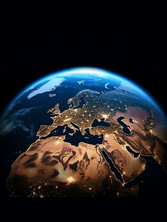
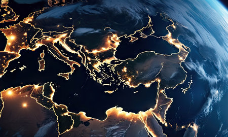
Generative AI : Earth photo at night City Lights of Europe Middle East Turkey Italy Black Sea Mediterrenian Sea from space World map globe Satellite HD photo Elements of this image
Коллекция по умолчанию
Коллекция по умолчанию
Создать новую
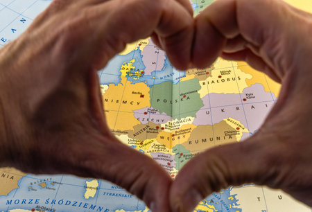
Hands folded in the shape of a heart against the background of a map of Poland, love for the homeland, independence day
Коллекция по умолчанию
Коллекция по умолчанию
Создать новую
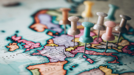
A collection of colorful pushpins placed on a detailed vintage world map, highlighting various locations in Europe for travel inspiration.
Коллекция по умолчанию
Коллекция по умолчанию
Создать новую
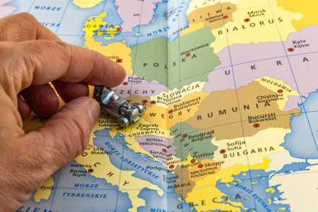
A colorful map of Europe, a small metal car in a man's hand shows the route to Croatia
Коллекция по умолчанию
Коллекция по умолчанию
Создать новую
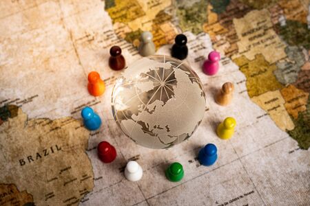
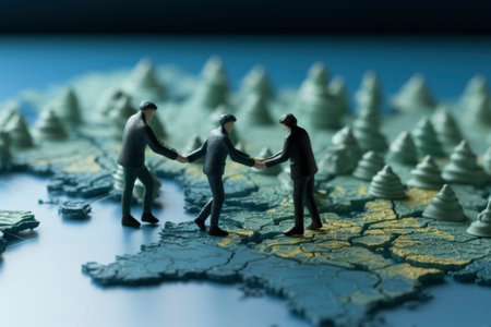
Image of people holding hands around the globe
Коллекция по умолчанию
Коллекция по умолчанию
Создать новую
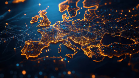
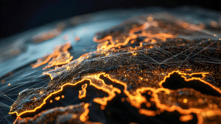
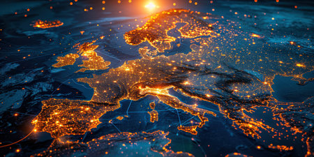
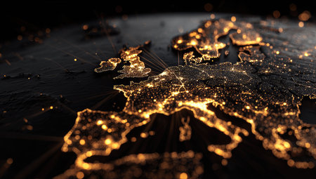
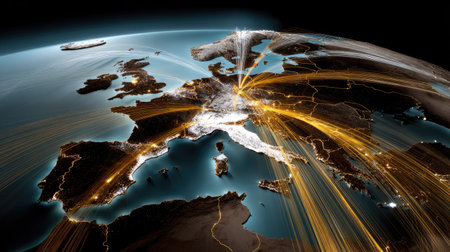
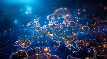
This captivating visual depicts an illuminated map of Europe, showcasing technological connectivity through bright city lights and vibrant networks.
Коллекция по умолчанию
Коллекция по умолчанию
Создать новую

Planet Earth at night from space, Europe is glowing. Generative AI technology
Коллекция по умолчанию
Коллекция по умолчанию
Создать новую
Penza City Of Russia Country Political Map Close Up With Background Blur Image
Коллекция по умолчанию
Коллекция по умолчанию
Создать новую
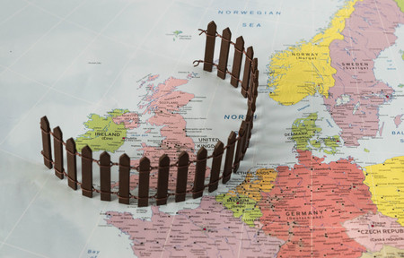
Brexit conceptual Map after Uk separation from Europe.
Коллекция по умолчанию
Коллекция по умолчанию
Создать новую

Bangkok, Thailand - May 15, 2022 World map paper, closeup view.
Коллекция по умолчанию
Коллекция по умолчанию
Создать новую
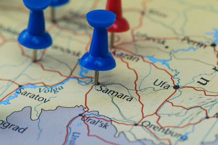
Samara city pinned on a map of Russia among other World cup 2018 venues
Коллекция по умолчанию
Коллекция по умолчанию
Создать новую
Map
Коллекция по умолчанию
Коллекция по умолчанию
Создать новую
Planet Earth. View from Space extreme closeup. Generative AI
Коллекция по умолчанию
Коллекция по умолчанию
Создать новую
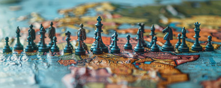
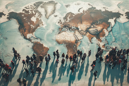
A clever photo manipulation of people as chess pieces on a world map board, strategizing about global population management
Коллекция по умолчанию
Коллекция по умолчанию
Создать новую
Moscow City Of Russia Country Political Map Close Up With Background Blur Image
Коллекция по умолчанию
Коллекция по умолчанию
Создать новую
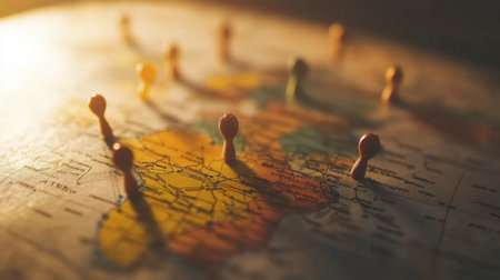
Close-up of colorful pushpins on a vintage world map, symbolizing travel planning and exploration. Shadows add depth to the geographic details.
Коллекция по умолчанию
Коллекция по умолчанию
Создать новую
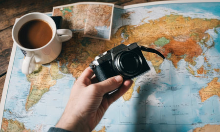
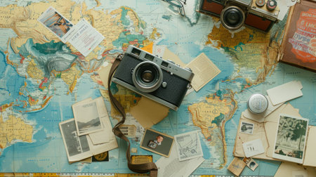
An individuals hand is seen holding a classic black camera over a map, capturing the essence of travel and exploration with a steaming cup of coffee nearby. AI generation
Коллекция по умолчанию
Коллекция по умолчанию
Создать новую
Generative AI : Italy top view from space at night Map of Italy in satellite picture Aerial photo of Mediterranean Europe detail Dark land and seas city lights in Italy Elements of
Коллекция по умолчанию
Коллекция по умолчанию
Создать новую
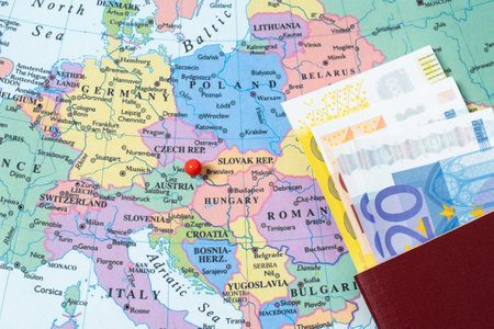
the world Map, various locations with pins, passport and money
Коллекция по умолчанию
Коллекция по умолчанию
Создать новую
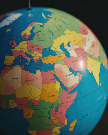
A macro close up of a colorful globe displays political divisions of Europe Africa and the Middle East. The globe is predominantly blue with landmasses colored in vibrant shades of green yellow pink orange and red. Latitude and longitude lines are visible across the surface. The background is dark and out of focus creating a shallow depth of field that emphasizes the globe.
Коллекция по умолчанию
Коллекция по умолчанию
Создать новую

A closeup shot of a black and white wooden globe with a blurred background
Коллекция по умолчанию
Коллекция по умолчанию
Создать новую
Map of europe at night with lights of cities and towns on it. Generative AI.
Коллекция по умолчанию
Коллекция по умолчанию
Создать новую
An overhead view reveals Europe at night, marked by a network of glowing lights. The image showcases the continents' edges and features a dark background. The scene suggests a global perspective, with potential uses in illustrating technology or representing global interconnectedness for commercial applications.
Коллекция по умолчанию
Коллекция по умолчанию
Создать новую
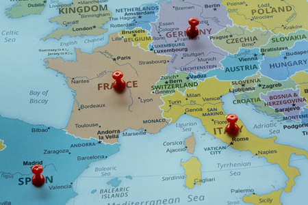
Map of France with red pushpins on a blue background. High quality photo
Коллекция по умолчанию
Коллекция по умолчанию
Создать новую
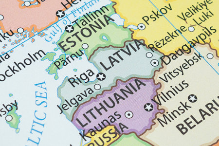
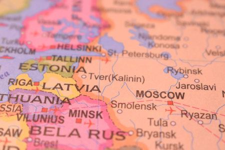
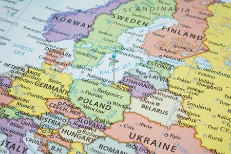
Close up to a Latvia political map with country borders and most important cities
Коллекция по умолчанию
Коллекция по умолчанию
Создать новую

Map of Bulgaria
Коллекция по умолчанию
Коллекция по умолчанию
Создать новую
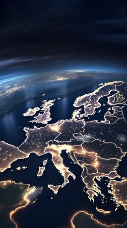
Generative AI : Earth photo at night City Lights of Europe Middle East Turkey Italy Black Sea Mediterrenian Sea from space World map globe Satellite HD photo Elements of this image
Коллекция по умолчанию
Коллекция по умолчанию
Создать новую
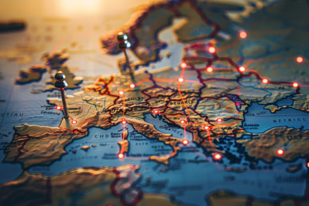
A close-up view of a detailed map of Europe showcases various travel routes marked with pins and illuminated areas, creating a warm atmosphere during evening light.
Коллекция по умолчанию
Коллекция по умолчанию
Создать новую
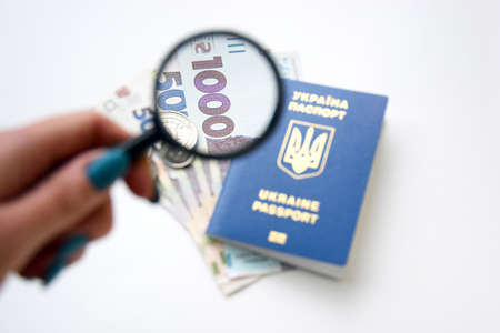
New banknotes in denominations of 500 and 1000 hryvnia with a Ukrainian passport.
Коллекция по умолчанию
Коллекция по умолчанию
Создать новую
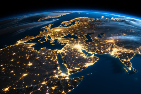
A captivating satellite image displaying the illuminated cities of Europe and the Middle East at night. The vibrant city lights form a breathtaking mosaic against the backdrop of the dark sky.
Коллекция по умолчанию
Коллекция по умолчанию
Создать новую
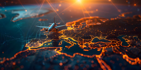
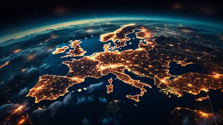
Stunning aerial view of Europe at night, showcasing vibrant city lights and dynamic network connections, illustrating urban activity and efficiency across the continent.
Коллекция по умолчанию
Коллекция по умолчанию
Создать новую
This digital map of Europe highlights illuminated network connections, depicting data flow and routes across urban centers, showcasing technological innovation.
Коллекция по умолчанию
Коллекция по умолчанию
Создать новую
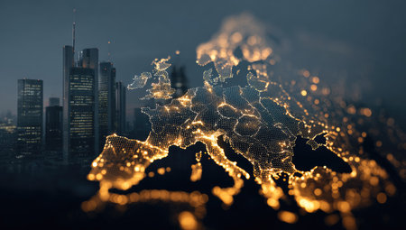
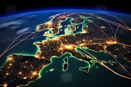
A stylized image presents the outline of the European continent highlighted with glowing lights. The visual showcases a network, potentially signifying connections. Buildings can be seen in the backdrop, emphasizing a technological or business context. This artwork is suitable for illustrating concepts in finance and development.
Коллекция по умолчанию
Коллекция по умолчанию
Создать новую
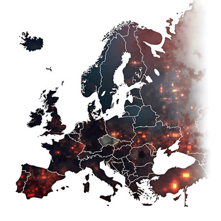
Europe map with dark, textured overlay and red glowing lights is shown against white, creating dramatic and conceptual visuals suitable for geopolitical or technological concepts.
Коллекция по умолчанию
Коллекция по умолчанию
Создать новую
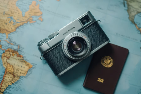
A vintage camera lies on an open world map alongside a passport, creating a perfect setting for travel planning and inspiring future adventures around the globe.
Коллекция по умолчанию
Коллекция по умолчанию
Создать новую

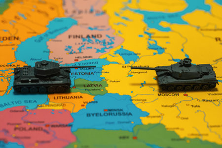
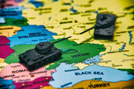
Toy tanks on the map. Military operations in Ukraine.
Коллекция по умолчанию
Коллекция по умолчанию
Создать новую
Abstract map of Western Europe showing telecommunication data transfer networks for global internet connectivity. Concept Internet Infrastructure, Telecommunication Networks, Data Transfer
Коллекция по умолчанию
Коллекция по умолчанию
Создать новую
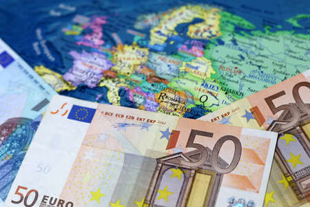
Euro banknotes on the Europe map. Concept of Eurozone, European economy, EU financial support of Ukraine
Коллекция по умолчанию
Коллекция по умолчанию
Создать новую
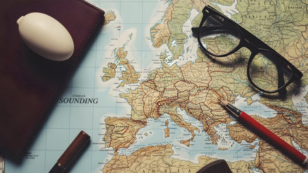
Travel plan with notebook, pen and eyeglasses on world map
Коллекция по умолчанию
Коллекция по умолчанию
Создать новую
Save earth illustration figure
Коллекция по умолчанию
Коллекция по умолчанию
Создать новую
Close up to a Hamburg city with a black pin needle into Germany country political map
Коллекция по умолчанию
Коллекция по умолчанию
Создать новую
An intricate map of the world is elegantly displayed on a wooden table. The intricate patterns and font create a beautiful piece of art AIG50
Коллекция по умолчанию
Коллекция по умолчанию
Создать новую
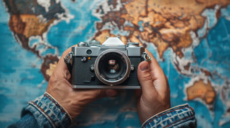
Top view of the camera in his hands on the background of the world map. The concept of travel.
Коллекция по умолчанию
Коллекция по умолчанию
Создать новую
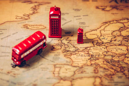
The iconic red bus and Big Ben miniature with compass on the map of London, UK. Concept of travel.
Коллекция по умолчанию
Коллекция по умолчанию
Создать новую
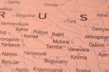
Mutoraj Political Map Of Russia Country And City Close Up With Background Defocused Image
Коллекция по умолчанию
Коллекция по умолчанию
Создать новую
3D illustration of abstract fractal for creative design looks like water surface
Коллекция по умолчанию
Коллекция по умолчанию
Создать новую
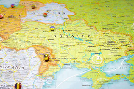
National flag Ukraine pinned on political Europe map. Macro Close up picture on a colorful and blurry world atlas with focus to capital country - Kiev. Push pin marker of destination.
Коллекция по умолчанию
Коллекция по умолчанию
Создать новую
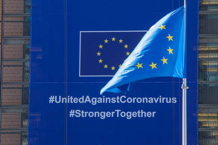
BRUSSELS, Belgium - fourth of may 2020: The Coronavirus - Global Response banner displayed on the front of the Berlaymont building, the headquarters of the European Commission.
Коллекция по умолчанию
Коллекция по умолчанию
Создать новую
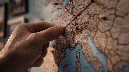
Finger pointing on travel map for route planning trip
Коллекция по умолчанию
Коллекция по умолчанию
Создать новую
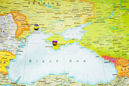
Close up view to Crimea with Russian flag pin. New land and sea borders of Ukraine and Russia territory on political map of Europe, geographical globe. Crimean bridge and ferry crossing to peninsula.
Коллекция по умолчанию
Коллекция по умолчанию
Создать новую
An illuminated map of Europe at night bright city lights and borders against a cosmic backdrop featuring colorful...
Коллекция по умолчанию
Коллекция по умолчанию
Создать новую

Geographical map location of country Egypt in Africa continent on atlas
Коллекция по умолчанию
Коллекция по умолчанию
Создать новую
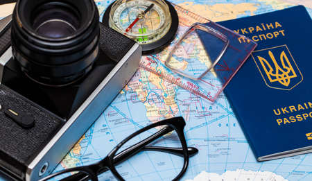
Passports on a map of the world.Camera, sunglasses, and seashells in the backgroun
Коллекция по умолчанию
Коллекция по умолчанию
Создать новую

Ukraine flag on the pushpin and red threads on the wooden map connected with Europe. Travel or logistic routes. Influence in geopolitics and world economy.
Коллекция по умолчанию
Коллекция по умолчанию
Создать новую

Global trade network depicted with interconnected lines on map of Europe and Asia. Concept Global Trade Network, Interconnected Lines, Europe, Asia, Economic Connections
Коллекция по умолчанию
Коллекция по умолчанию
Создать новую
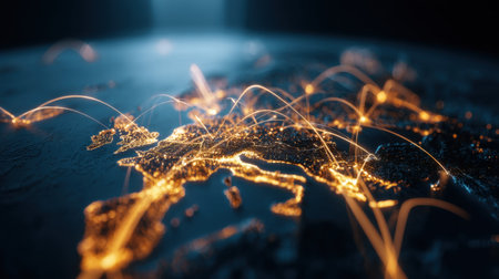
A captivating depiction of Europe showing illuminated connections among cities, symbolizing digital networks and the essence of globalization.
Коллекция по умолчанию
Коллекция по умолчанию
Создать новую
Close up to a Kaliningrad city with a light blue pin needle into russia country political map
Коллекция по умолчанию
Коллекция по умолчанию
Создать новую
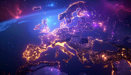
Night view of Europe from space with visible country borders. 3D illustration.
Коллекция по умолчанию
Коллекция по умолчанию
Создать новую
Generative AI : Earth night view from space map with city lights satellitebased observations Elements of this image furnished by NASA light pollution map
Коллекция по умолчанию
Коллекция по умолчанию
Создать новую
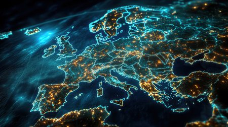
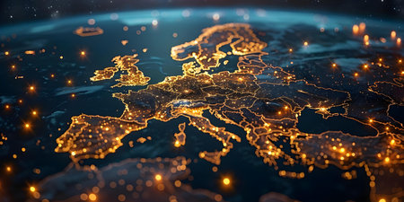
A captivating nighttime view of Europe showcasing illuminated cities and landscapes from space, highlighting the continent's vibrant urban life and connectivity.
Коллекция по умолчанию
Коллекция по умолчанию
Создать новую
Generative AI : Earth photo at night City Lights of Europe Middle East Turkey Italy Black Sea Mediterrenian Sea from space World map globe Satellite HD photo Elements of this image
Коллекция по умолчанию
Коллекция по умолчанию
Создать новую
Traveler's road map. Souvenir from Odesa, Ukraine laying on the map
Коллекция по умолчанию
Коллекция по умолчанию
Создать новую
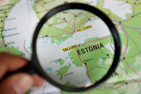
view of Tallinn, Estonia, on a geographical map of Europe, seen using a magnifying glass
Коллекция по умолчанию
Коллекция по умолчанию
Создать новую
Generative AI : Earth photo at night City Lights of Europe Middle East Turkey Italy Black Sea Mediterrenian Sea from space World map globe Satellite HD photo Elements of this image
Коллекция по умолчанию
Коллекция по умолчанию
Создать новую
Global internet network connections in Europe for communication data transfer finance and security purposes. Concept Europe, Internet Connectivity, Data Transfer, Finance, Security
Коллекция по умолчанию
Коллекция по умолчанию
Создать новую
A blue and red map of Europe with many dots. The map is a representation of the internet and the dots represent the many connections between different countries
Коллекция по умолчанию
Коллекция по умолчанию
Создать новую
Central Asia from space. 3D illustration with detailed planet surface and visible city lights.
Коллекция по умолчанию
Коллекция по умолчанию
Создать новую
Legion-Media
Создайте свои проекты на основе качественных стоковых фотографий и видео.


Copyright © Legion-Media.